Information
Date
Saturday 31stJanuary 2026
Events
As well as the 12 hours event there will be 6 and 3 hour events.
Also there will be a family category for the 3 hour event. A family should be one or two adults with one to four children to a maximum of five.
Location
Centred in the Akaroa Basin and extending over the Summit Road
Event HQ
The event centre is on the corner of Robinsons Valley Road and Sawmill road, 100 metres up Sawmill Road. It is shown in the Legend map above.
There will be parking available on grass. You should assume that you will do your planning in your cars. There may be limited planning space available in the marquee, but this depends on numbers.
Transport
You can travel to Akaroa from Christchurch by bus with services like Akaroa French Connection or Akaroa Shuttle. The Akaroa French Connection departs daily from Rolleston Ave in Christchurch at 9:00 am, arriving in Akaroa around 11:00 am, and has a return service from Akaroa at 4:00 pm.
Meals
There will be a meal provided at the finish for the 12 hour competitors and snacks for the 6 and 3 hour
Please bring your own plates, knives, forks, and cups for the catering provided after the event.
Terrain
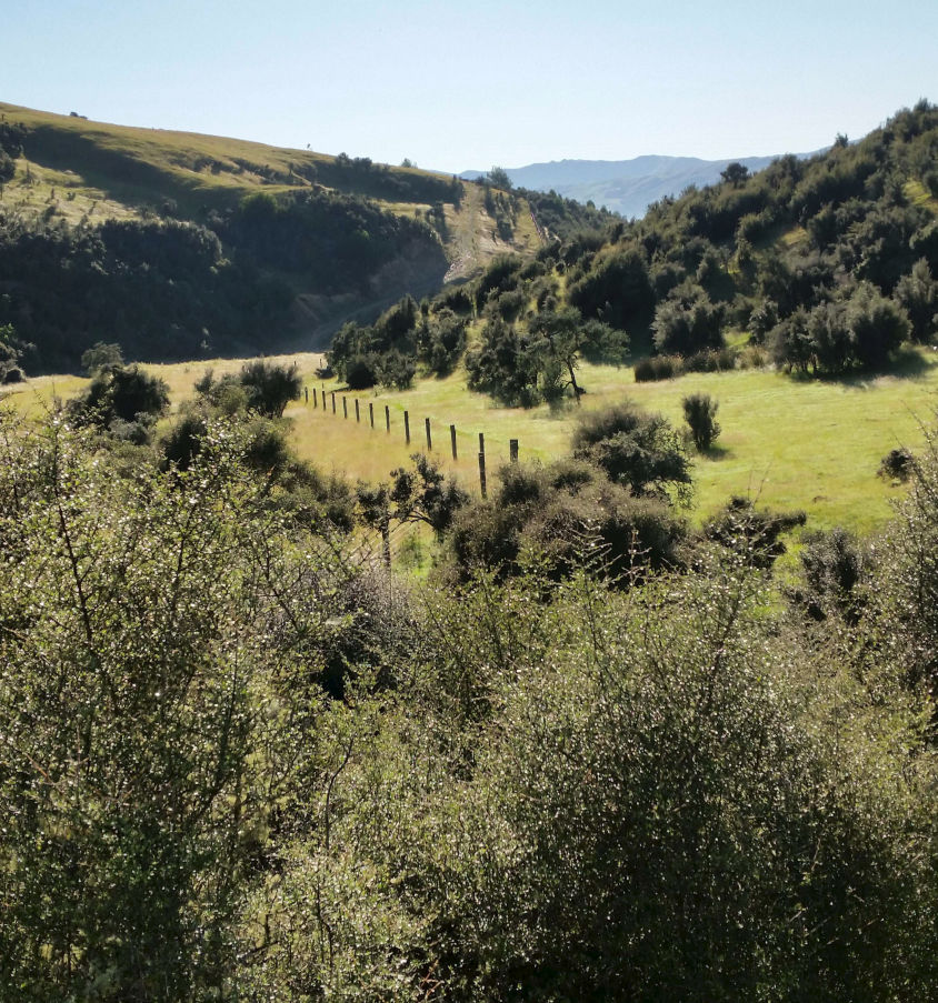
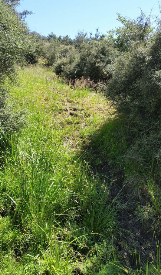
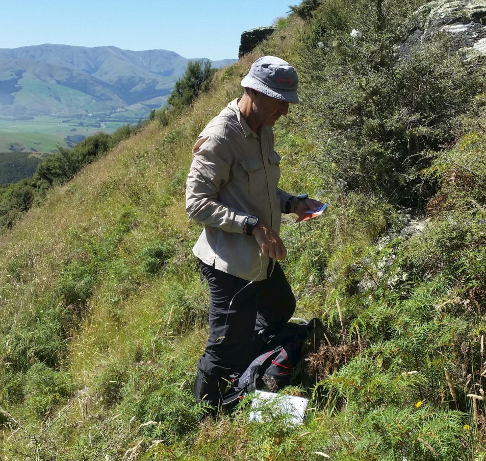
Hilly, as you would expect, but there are some good contouring route choices available once some initial height is gained. There are some areas of un-grazed land which will make slow travel, and these will be marked on the map as “rough”.
The vegetation cover has been derived from LiDAR, with the expectation that anything above 6 metres high will be open forest, and anything below 6 metres will not be open. But this varies, so take a look- some is OK, especially if it looks like native bush or pine forest. Because this is mid-summer, there could be long grass in places, and grass seed-heads.
Map
The Event map itself is created from LiDAR data, at a scale of 1:30,000, with 10 metre contours. It is oriented to magnetic north, with magnetic north gridlines at 1km spacing.
It will be printed on 115 gsm A3 Teslin (waterproof and robust).
Farm tracks have been marked where possible, but some may be faint on the ground, and others may exist.
Weather
The weather in January is usually fine with temperatures in the low 20s. However Banks Peninsula is exposed and the weather can change quickly.
Hours of daylight
An overcast sky could affect the light so you should be prepared.
- Sunrise - 6:24 AM
- Sunset - 8:57 PM
Safety and Clothing
Each team will receive an extra A4 copy of the map at registration. After planning their route for the day, you must mark your intended route on this map (showing direction of travel, and team number) and hand it in before starting. This route is not binding; you can change course at any time. This “flight plan” is useful as an indicator if you fail to return, and is useful for planning water-stop replenishment.
Every person must carry sufficient thermal and windproof gear. This includes a polypropylene or wool long-sleeved top, hat and mitts, some form of leg covering (polypropylene or over trousers), and a parka. The parka can be lightweight if the weather is fine on the day, and similarly the leg coverings can be dispensed with. Be aware that the highest parts of the course are around 600 metres and are on very exposed ridges with extreme winds possible, and you must be adequately prepared.
You should carry at least two litres of water each. You can replenish from the water-stops which will be marked on your map. There are many streams on the course, and the bigger ones may be potable but it is your choice.
here is ongaonga in some of the bush areas, and gaiters are recommended.
Each person must have a whistle, and each team must carry a first-aid kit, and a safety blanket. The first-aid kit should include band-aids and one roll bandage as a minimum.
Some cattle on this hill country may not be used to people, so try to avoid them or walk around them until you can assess their temperament. Never crowd them into a corner.
Essential Gear
Each team must carry a basic first aid kit, with as a minimum, one roll-bandage, some sticking plasters, and one space blanket.
Each team Member must have a whistle, a thermal top (eg. Polypropylene or wool), leg covering (tights/long johns/over trousers or full-length gaiters up to the knee), and a hat or beanie.
In addition, each member must carry a windproof or showerproof parka with a hood.
You must bring additional clothing to the event which the organisers will request you to carry if the weather is bad.
This will include an outer thermal layer (Fleece or wool), a thermal head covering, and a fully waterproof parka.
Even though this is summer, the tops around the harbour basin are very exposed and can get very bitter with wind and rain.
Gaiters or full leg covering is recommended, as there is Onga Onga (stinging nettle) in places in the bush
Water
There is no public water supply available at the event centre. Following the Australian convention, please bring as much water with you as you can. Make sure your water bottles are full, and have spare bottles with you while you do your planning. There will be water drops on the course, and these will be marked on the map.